So Long, Snow Drought. Lake Effect Bands Could Drop 2 Inches Per Hour
By Stephen Gossett in News on Mar 13, 2017 3:00PM
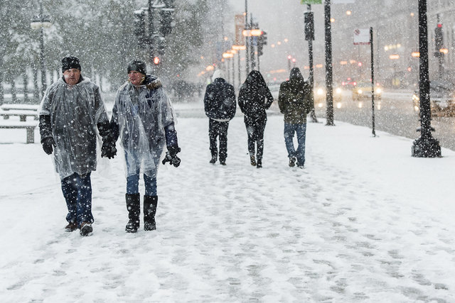
Photo: Tyler LaRiviere
Of course. After we go all of January and February with no measurable snow for the first time in the history of Chicago record-keeping, the city is now rolling with the punches of a significant March snowfall.
Before Monday morning, Chicago had not seen more than an inch of snow since Dec. 17, according to the Tribune; but we're catching up a bit now. According to the National Weather Service, parts of the Chicago area have already seen as much as 3 inches of snow in the last 24 hours. The worst was in the north suburbs.
That will taper off into the occasional light snow or flurry by the afternoon, but a second, potentially stronger round of snow is in the mail for tonight. Lake effect bands are expected to begin this evening and continue overnight, peaking at around midnight, according to NWS. The bands tend to be small in area, but fierce: although only 10 to 15 miles wide, they can produce in excess of two inches of snow per hour, the NWS alerts.
Late season snow this morning will give way to potentially heavy lake effect snow tonight into Tues. #inwx #ilwx pic.twitter.com/teicElCVMG
— NWS Chicago (@NWSChicago) March 13, 2017
The figured-we'd-never-see-it-again weather caused a massive collective travel headache on Monday, as more than 500 flights were canceled as of Monday morning.
As for terrestrial travel in the city, we'll just leave this right here as a reminder for winter etiquette.